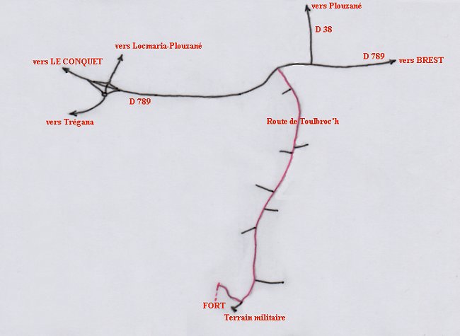
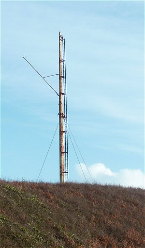
Access : From Brest towards Le Conquet, on the D789 road, after the junction with the D38 towards Plouzané, take the first road on the left in the bend and go straight on for 2.5 km. This road leads to a military field that is off-limits to the public. Beware : entry to the site is forbidden if a red flag is flying on this mast ( shooting exercise in progress ).
100m before the military field, take the small road going up on the right and park at the end of this road.
Follow the wide dirt track on foot. After the barrier, take the left path.
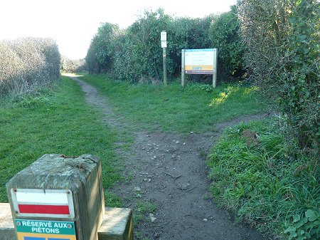
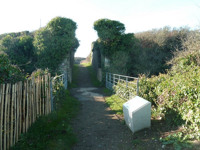
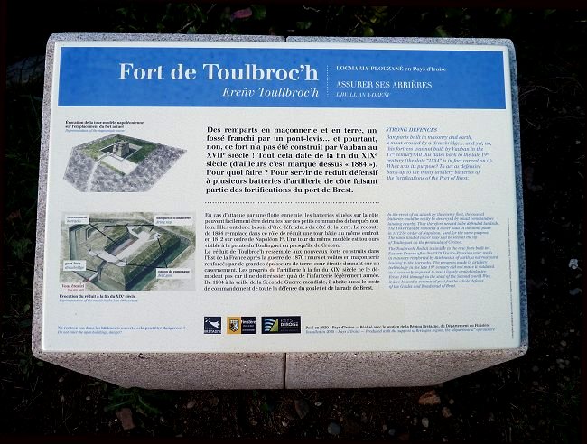
An explanatory marker placed there by the Iroise Community precedes the drawbridge and the entrance.
Read Toulbroc'h's story on the
site of the association Locmaria patrimoine.
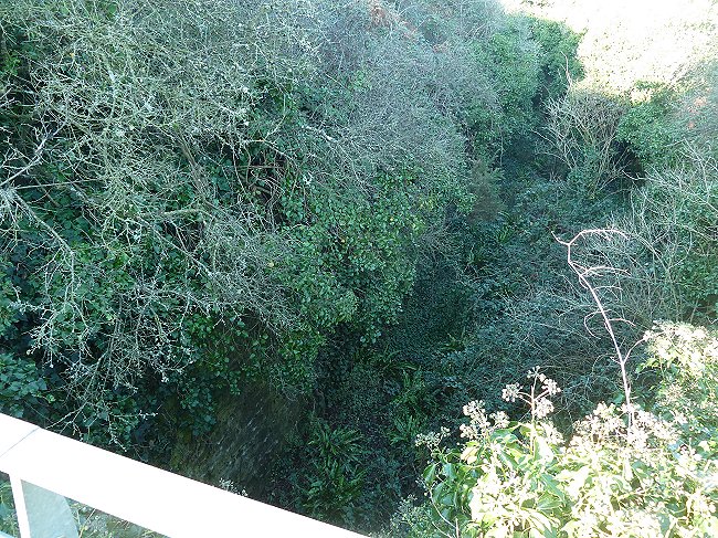
After crossing a deep moat by the drawbridge, a fortified tower that could house a small garrison was once accessed.
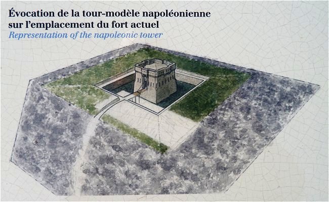
Fragment of the explanatory marker © Iroise Community
Too visible, it was levelled in 1884 to make way for the buried fortress that can be seen today.
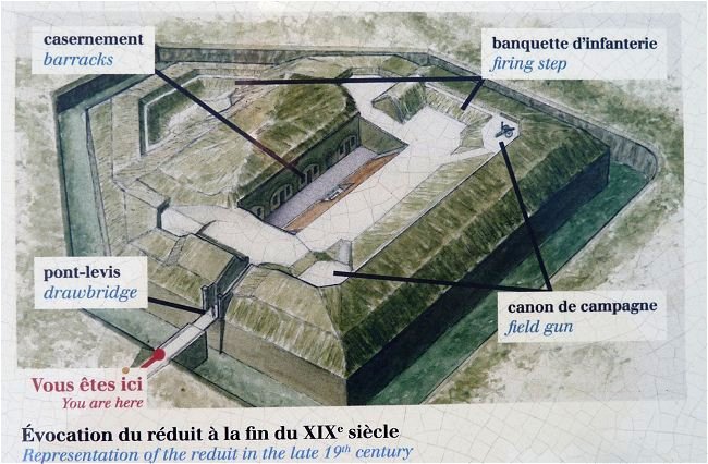
Fragment of the explanatory marker © Iroise Community
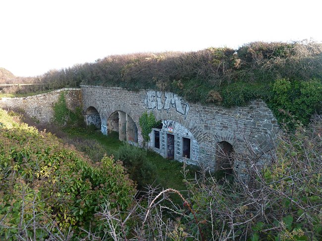
These barracks, equipment sheds and powder magazines have been disused for almost a century. They present a real danger of landslide, but are regularly tagged.
Continuing the visit you reach a terrace from where the view overlooks the entire cove of Bertheaume and the entrance to the Brest Channel.
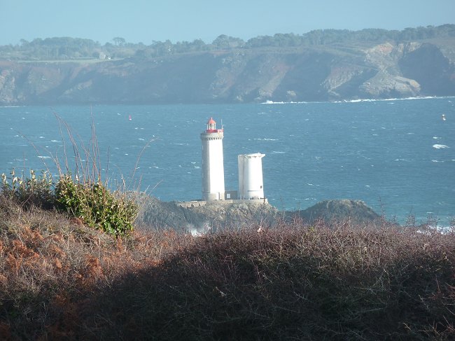
The lighthouse and the semaphore of Le Minou mark the entrance to the Brest Channel
A second explanatory marker shows all the coastal defences of which the fort where we are located was only a part.
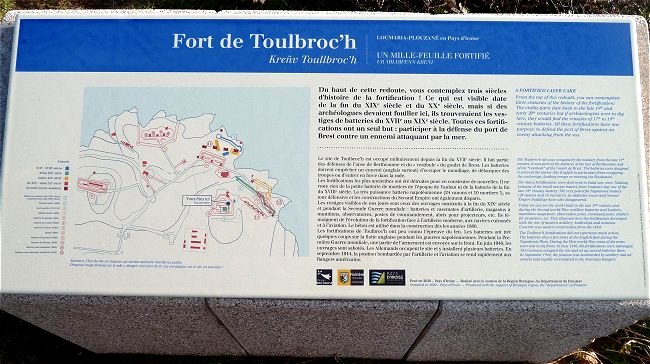
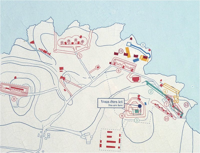
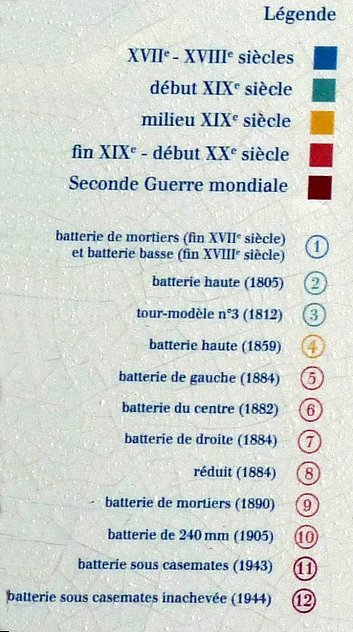
Fragments of the explanatory marker
© Iroise Community
This very complex defensive unit of the French Navy is the result of multiple reorganizations that continued until 1905.
During the Occupation, the Germans settled there and had at their disposal a succession of batteries and barracks that they modernized and enlarged in order to defend the port of Brest and its new submarine base.
Today, the majority of these facilities are part of the nearby military field. But what is left of the battery n°10 on the map is accessible to the public and abundantly tagged.
Battery n ° 10
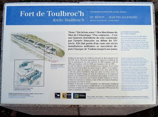
Explanatory marker © Iroise Communauté
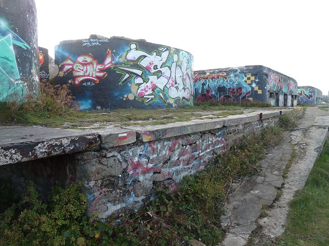
Coastal path signage disappears among the tags
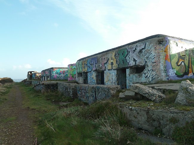
This battery consisted of a series of large calibre guns mounted on turrets and separated by concrete casemates that housed personnel and ammunition.
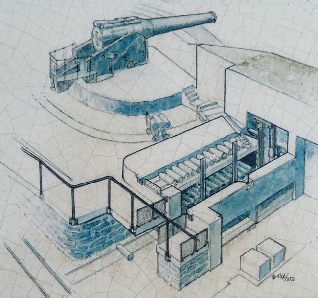
During the Second World War, the Germans equipped it with 75mm French guns from the Maginot Line.
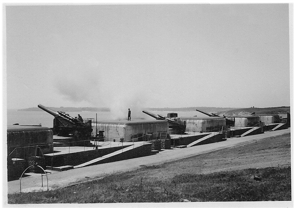
© Photo: private collection
In September 1944, during the fighting for the liberation of the Brest pocket, the Toulbroc'h defensive complex was bombed, which explains its current dilapidation. It was finally conquered by an American Ranger battalion.
READ MORE :

Guillaume Lécuillier and authors' collective
Ed.PUF 2011
Text and illustrations by Patrick Andersen Bö
Ed. Ouest-France 2002

Nicolas Meynen ( dir )
Presses Universitaires de Rennes 2010
And don't miss the visit of the Museum "Memories 39-45"
in Plougonvelin.
Le Musée « Mémoires 39-45 »


