


Access :
Leave St-Renan by the Ploudalmézeau road ( D68 ) and continue straight ahead until Argenton. In front of the sea, turn right on the D27. At the crossroads of Penfoul located 1.5 km further on, turn left onto the D127 signposted « KERSAINT par la route touristique ». Then follow the magnificent Landunvez coastline for 5 km. You can easily parked.
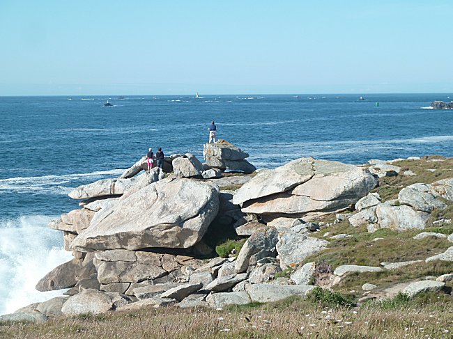
This tourist route has not usurped its name. While few people use their real Créac'h road name, everyone in Brest and the Pays d'Iroise knows its coastline assaulted by waves, and also by curious people and photographers with every storm.
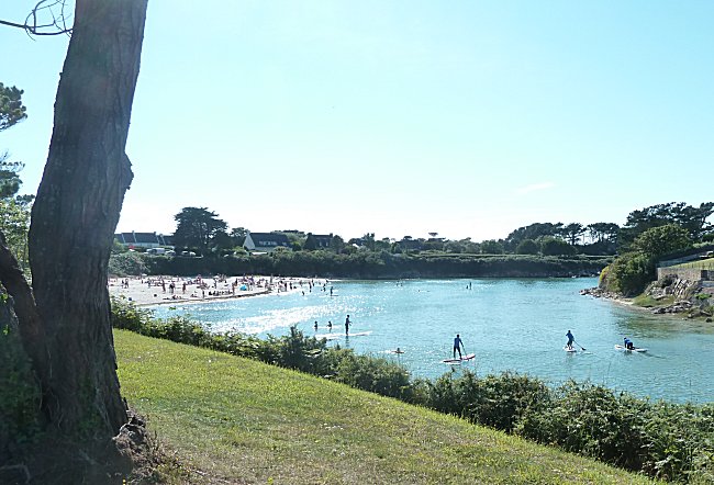
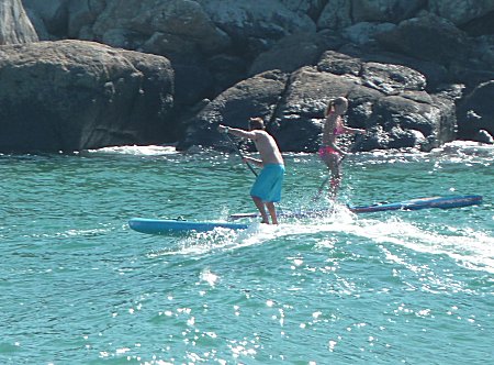
The milder weather in summer makes this coast just as attractive. This can be seen from the crossroads of Penfoul where a deep aber is the daily meeting place for surfers and paddle enthusiasts.
Completely abandoned by the sea at low tide, this vast notch on the shoreline allows the hiker to descend onto the sand to reach the opposite shore.
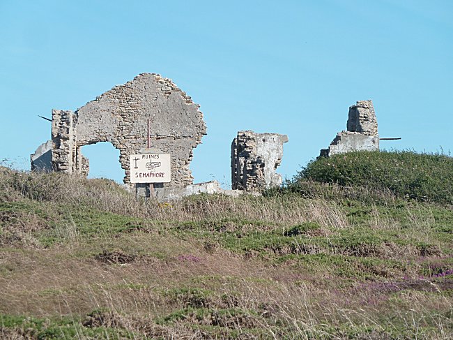
On stormy days, the spectacle of the waves at the foot of the ruins of the former semaphore is stunning. It is not uncommon for the road to be watered by foams.
Further on, the little St-Samson chapel is a must for the walker. Do not miss its visit and that of the nearby fountain on the coastal path. : Saint-Samson chapel
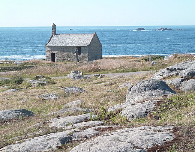
Isolated in a bend of the tourist road, the St-Samson chapel watches over the sea
in the middle of a magnificent postcard setting.
On the horizon is the northern headland of Ushant Island with the Stiff lighthouse. The Atlantic gives way to the English Channel which borders the Landunvez shoreline.
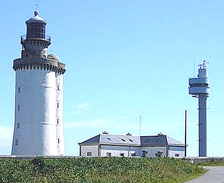
In Ushant, the Stiff lighthouse and the radar tower
control navigation in the entrance to the English Channel.
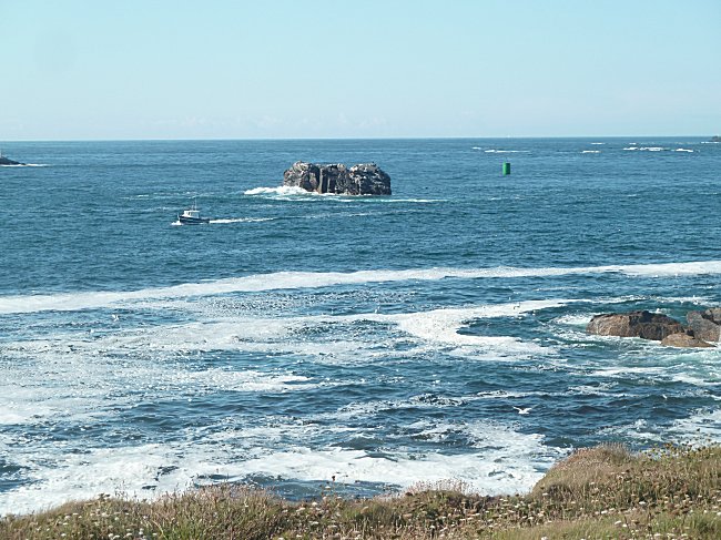
Many reefs emerge from the waves, posing definite dangers for ships, but are also privileged spots for the fishers who hunt down basses and coalfishes there.
When you reach the large car park that completes this impressive seaside route, you can see on the far right the port of Portsall, in front of which the oil tanker Amoco Cadizsank in 1978. The gigantic pollution that followed and took several years to completely disappear, is still kept in everyone's memory.
You can go down by the small road at the end of the car park to Beg ar Galeti headland, where the view of Portsall is better and where there are still two menhirs and a Coast Guard shelter.
