


Access :
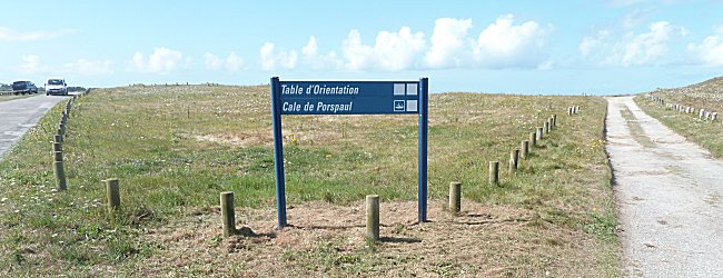
Leave St-Renan by the Plouarzel road (D5) and at the entrance of this town turn right at the roundabout in the direction of Lampaul-Plouarzel. Go through the centre of the town and, at the fork in front of the library, turn left towards Porspaul, the port of Lampaul-Plouarzel. When you arrive, take the small road on the right, heading towards the campsite and the Beg ar Vir peninsula. Continue to go around the port and at the sign indicating the orientation table turn right towards the isolated house.
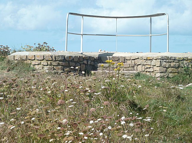
Perched on a mound, this original orientation table has the particularity of resembling the bow of a ship. At high tide, leaning over this rail and the sea at your feet, spreading your arms horizontally, you will split the waves aboard the Titanic !
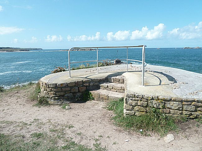
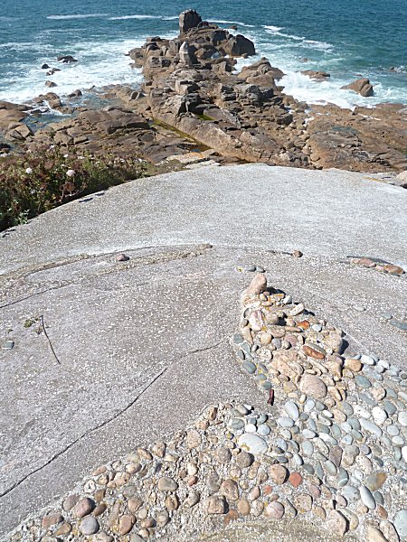
The batayoles1 of the railing sink into a concrete platform where pebbles skilfully reproduce the contours of the shoreline.
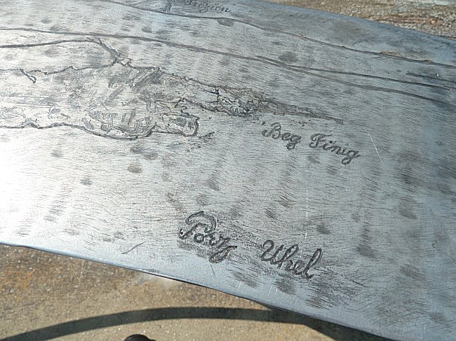
It is on this rail that the orientation table is fixed. Engraved on a narrow metal strip, the names of the landscape elements in front of us are indicated. You will notice that the Breton toponymy, which brings a plus to this orientation table, is well respected. Beg ar Vir, for example, is the point where you turn to enter the port. Ar forc'h vihan are the rocks called the Small Forks. And if you can easily guess the meaning of Beg finig, then look also for the meaning of Porz Uhel, knowing that the adjective uhel is the opposite of izel ( low, downstream ).
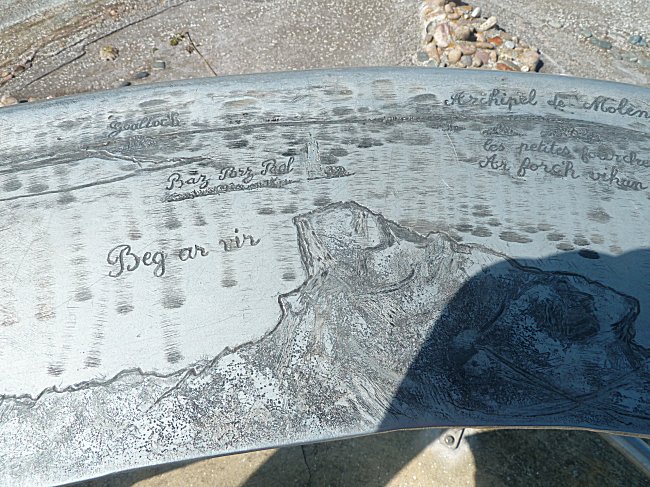
In good weather, the view is superb. The Molène archipelago is visible on the horizon, with the islands of Béniguet, Litiry and Quéménès, Triélen, Molène and Ouessant, while all the details of the continental shoreline can be seen, with the small island of Ségal only being separated at high tide.
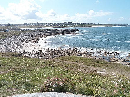
To the south, we can see the headland of Corsen and the lighthouse of Trézien on the town of Plouarzel. |
To the north, the landscape extends as far as Aber Ildut river, where the pretty sea port of Lanildut is located. |
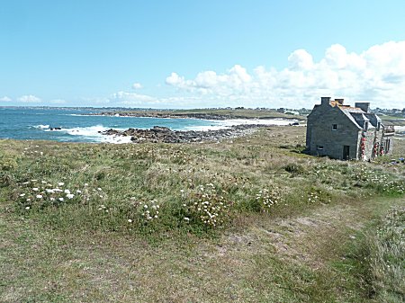
To the east, the port of Porspaul is a natural Shelter
in a cove isolated from storms
by the headland of Beg ar Vir and its dune cordon.
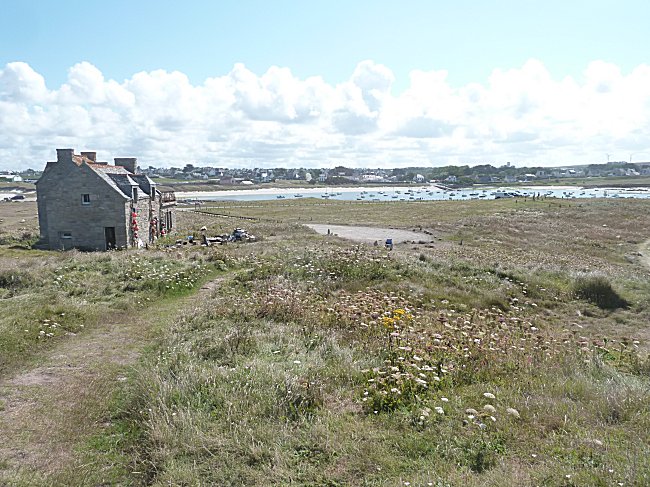
On the way back to the port, we will not fail to take a look at the old seaweed ovens that dot the dune.
-1-
Batayoles are the vertical uprights of a ship's rail.
